


For now, to get to Koh Lanta, you must take a boat. At the Ban Hua Hin pier on the mainland of Krabi, cars, minivans, delivery trucks and, from time to time, a scooter with an entire family on it board a ferry with a flat deck and cross a narrow channel to Koh Lanta Noi; from there they continue on a bridge to Koh Lanta Yai, which is the island that most people mean when they say “Lanta”. During peak season, the wait at the pier can be longer than the journey itself, which shows the island’s main feature: nobody here is in much of a hurry. The island is about 16 miles long and has a western coast with several beaches, a series of jungle-covered hills, a slow eastern coast of mangroves and stilt houses, and a southern end set aside as a national park.
Why Lanta, and Why Now
Beautiful sand can be found on many of Thailand’s islands, but what sets Lanta apart is its proportions: enough infrastructure to stay comfortable without being excessive, plus a genuine local culture that tourists have not fully discovered and that does not depend on them. It is therefore well-suited to families, divers, long-stay remote workers, and couples looking for an island with a real town.
It is also at a stage where change is coming: by 2029, motorists will be able to drive directly from the inland areas without having to stop at Ban Hua Hin, and the island will be easier to reach than it has been in the past, which is good news for the local population, although for tourists it provides only slight encouragement to take the ferry while it is still setting the pace, to wait in the queue for a while, and to let the island decide how much of the week is going to be planned.
Three Peoples and a Floating Boat
Lanta’s population is made up of three different communities, and the island is much easier to grasp when tourists can tell the communities apart. The Urak Lawoi, one of the sea-nomadic tribes of the Andaman Coast, are generally thought to have been the first to settle there about 500 years ago, and they still regard Lanta as very much like their ancestral home. In one of their traditional stories about the origins of the community, a talking fish and a white bird guided a boat—which was being beaten up by the storms—safely between the cliffs on the east coast into calmer waters; this is a description of a harbor that is at least as good as any that has ever been given. Muslim families from the Malay Peninsula and Sumatra came there afterward and started fishing. In the 19th century, Southern Chinese traders and tin workers moved to the island from Phuket and Takua Pa, and the protected bay became a port on the trade routes between Penang and Burma.
Once each year, on the full moons in the sixth and eleventh lunar months, the Urak Lawoi village in the southern part of the island holds a festival known as Loy Rua, which includes floating boats. Families build small wooden boats, fill them with flowers and candles, and often place clippings of their own hair or fingernails inside before letting the boats float away with the tide. The idea is one of neatness and generosity: the misfortunes that have accumulated during the year are carried away by the boat, and the village keeps the good luck. Before the boats are released, the Rong ngeng dancers go round them playing the violin, the drum and the gong.

Lanta Old Town
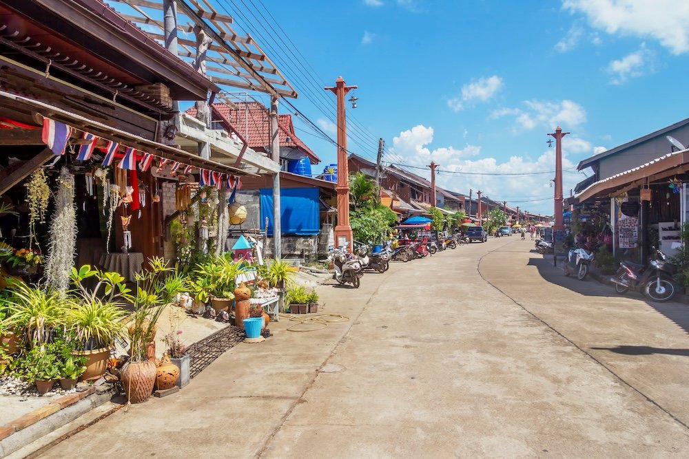
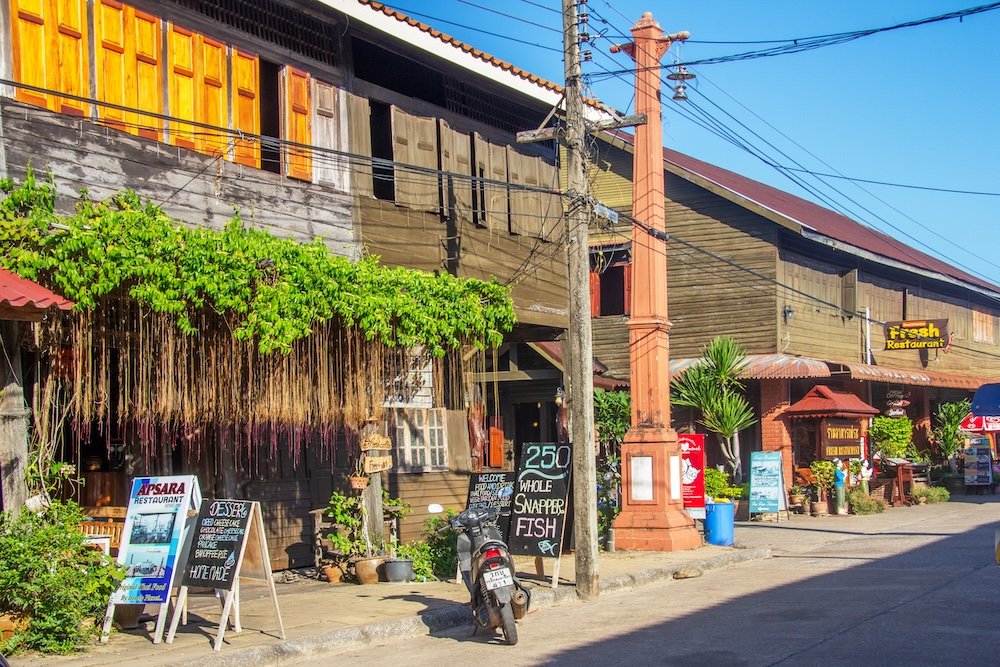
Lanta Old Town has been largely left to age in peace. Along one street facing the water, stand shophouses over a hundred years old, made of teak, whose rear sections extend over the bay on piles. Between the cafes and the craft shops stands Sam Kong Ong, a weathered red Hokkien temple dedicated to the Chinese sea gods, built by a community whose prosperity relied entirely on calm waters and fair prices. A small community museum offers a more accurate picture of the three cultures than any brochure, and a large lobster sculpture near the pier honors the fish that supported local families for generations.
The Beaches, North to South
Because all of Lanta’s beaches sit west of the Andaman, each sees a sunset; the difference lies in the conditions as you travel. As you go south from Salgrowse, the sand grows quieter, the road becomes steeper, and the land grows wilder with each bay.
The first major beach south of Saladaeng is Khlong Dao, with a one-and-a-half-mile stretch of soft, golden sand, a gentle slope, and calm, shallow water. Resorts line the back of the beach, and the island’s main pier and shops are nearby, which is especially helpful for those traveling with young children and lots of luggage. Khlong Dao is the most convenient place on Lanta to arrive and start exploring, and it suits families with small children, first-time visitors, and anyone who wants to be on the sand within an hour of arriving by ferry.
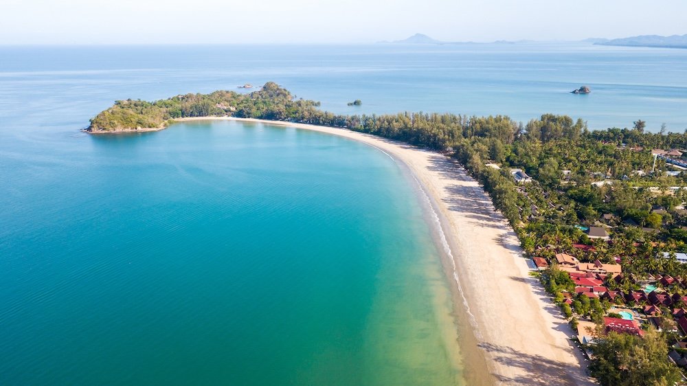
Long Beach (Phra Ae) is Lanta’s most well-rounded destination. Also, it serves as the island’s social center, offering a long stretch of good sand, shade from casuarina trees, excellent swimming conditions, and the greatest variety of bungalows, restaurants, and beach bars. In the morning, the beach is used by people who jog or walk, while in the evening it is filled with those coming to watch the sunset, sitting on the cushions at the bars located on the sand and drinking a cold Chang or Singha (the two main beer brands in Thailand) as the sky changes. When the tide is high, parts of the beach go underwater, so it is best to stay well away from the water.
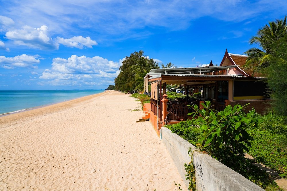
The beach at Khlong Khong is about two miles long and has a loose, bohemian air, and is occasionally referred to as Hippie Bay. The bars situated there have seating consisting mostly of hammocks and floor cushions. In the evening, the Freedom Bar is well known for the fire shows it puts on, during which performers spin flaming staffs and poi (balls attached to chains) on the sand, and for throwing parties when the moon is full or half. During the day, the beach looks very different because the rocks and coral are exposed at low tide, which makes swimming better at high tide.
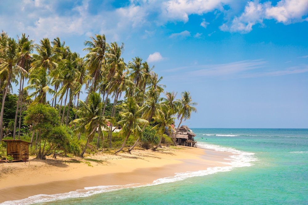
Khlong Nin has a more peaceful, pleasant beach with a village feel, deeper water for swimming, and restaurants that spread out tables on the sand as the sun sets. It is customary to eat dinner there barefoot, by candlelight, a few yards from the water. The beach sits where the island’s crossroad meets the seashore; as the road climbs the hills to Lanta Old Town, it is the most convenient beach to reach after spending the afternoon on the east coast.
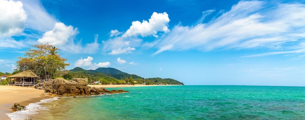
Relax Bay and Nui Bay are two small bays just south of Khlong Nin, where the road starts its steep climb. Relax Bay gets its name from its light-colored sand, clear turquoise water, and the fact that only a few resorts and some simple beach bars line it. Nui Bay is even more remote. To reach it, travelers usually descend a series of steps from the Diamond Cliff resort and restaurant on the headland and end up in a sheltered stretch of sand with bamboo sun shelters, with the water deepening towards the south. Those intending to stay longer should take snacks on the first descent; although the stairs are quite scenic the first time, they are less so the second time and even less the third. The bay will interest swimmers, readers, and anyone determined to nap in a hammock.
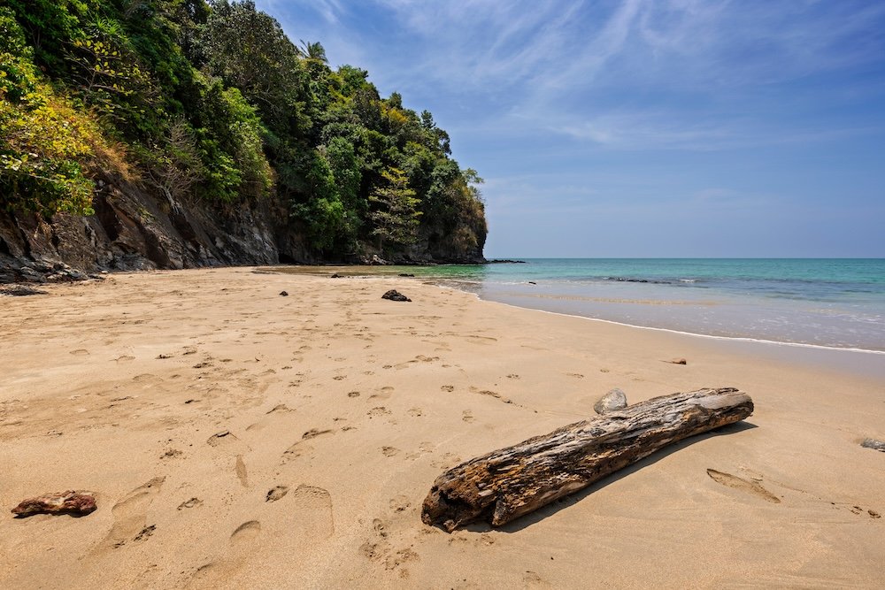
Kantiang Bay is one of the island’s most beautiful places: a crescent-shaped stretch of sand about a mile long, with quiet turquoise water backed by jungle-covered hills. At the back of the bay is a small village with several casual beachside cafes and restaurants, and the five-star Pimalai Resort sits on the hillside at one end. Because the bay is well sheltered, swimming is easy, and it doesn’t get very crowded even during peak season. Kantiang is often described as the most attractive beach in Lanta,, and anyone who has seen a sunset from there is unlikely to dispute it. The beach is popular with honeymooners, photographers, families seeking calm water without the crowds, and anyone who wants a luxurious experience.
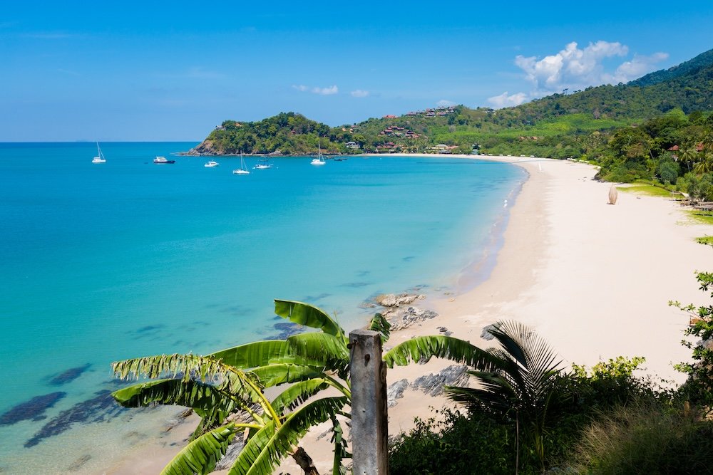
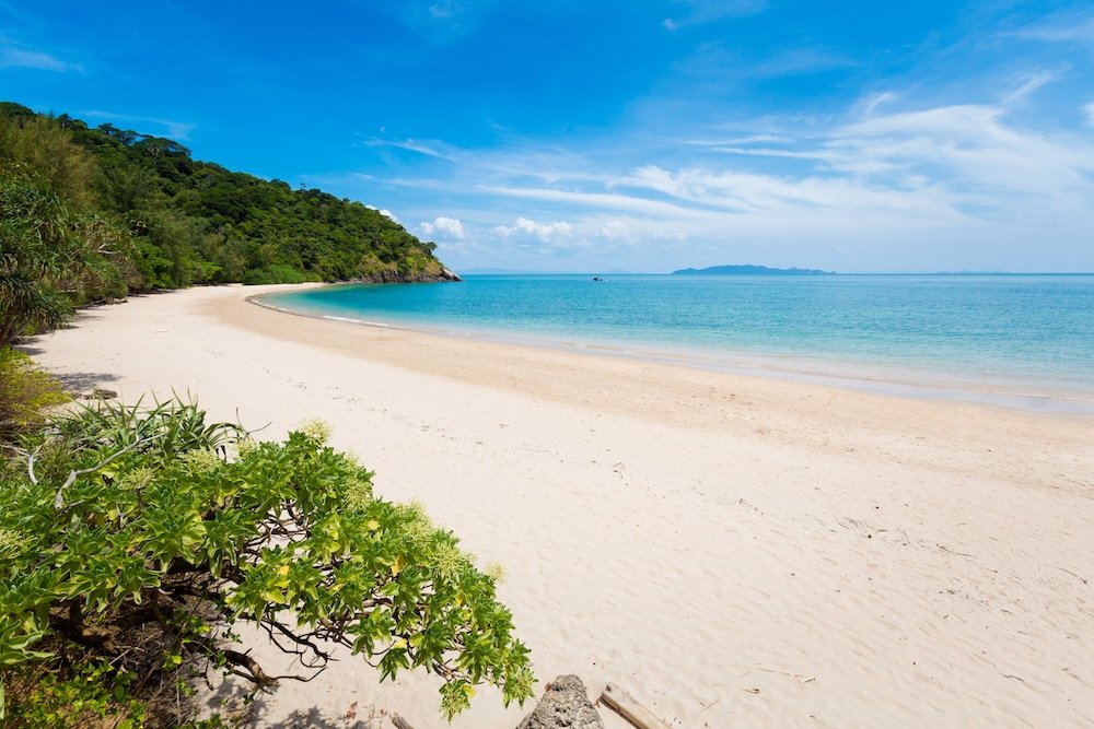
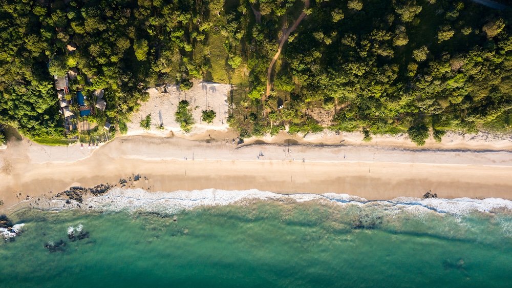
Bamboo Bay (Hat Mai Phai) is the final beach before the national park, at the end of a poorly tarmacked road, and the closest tourists get to a wild sandy beach. It is a long, uncontrolled beach bordered by jungle, featuring one small resort, LaLaanta Hideaway, and a simple bar; the beach is often nearly empty. The water is calm, even though the rocks along the shore make it best to swim at high tide. Bring water and sunscreen because there is little to buy.
Things to Do on Koh Lanta
Visit Koh Lanta National Park
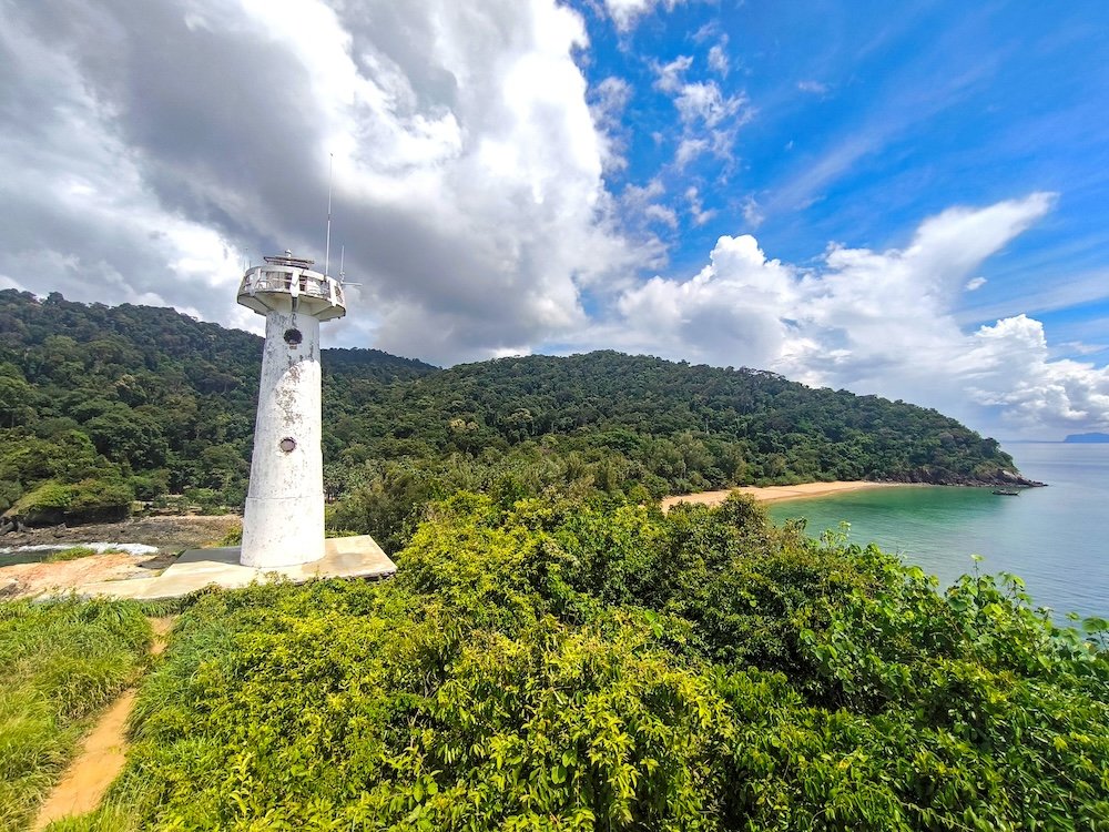
Mu Ko Lanta National Park, established in 1990, covers the southern part of the island and several smaller islands off the coast. On Lanta Island, the lighthouse on Laem Tanod, a white-rock promontory at the end of the island, stands on a small lighthouse with views of the open Andaman Sea. You can reach the lighthouse by a short walk or by following a jungle trail of about an hour through the forest behind the beach, with signs identifying the trees along the way. The descent road is steep and zigzags; the entrance fee for foreign visitors is a few hundred baht; and local monkeys treat any unattended bag as a personal invitation, so zip up all your bags. The park suits hikers, photographers, and anyone who wants to be at the very end of the island.
Explore Koh Lanta Old Town
Lanta Old Town, Sri Raya in Thai, was the island’s main port long before tourism became important, providing a safe harbor where Chinese and Malay trading ships would stop. Today, the area is one long street along the waterfront, with shops more than a hundred years old, whose back parts have been built over the bay on piles. Among the cafes, tailors, and craft shops are Chinese shrines, along with a small community museum that explains the island’s three original cultures: the Urak Lawoi sea people, the Thai Muslims, and the Thai Chinese. The best time to visit is late afternoon, when the light turns gold on the water, and the tide recedes below the piers. Near the pier, a big lobster sculpture marks the end of the street, in case anyone is still unsure what the local fishermen think.
Kayaking the Mangroves
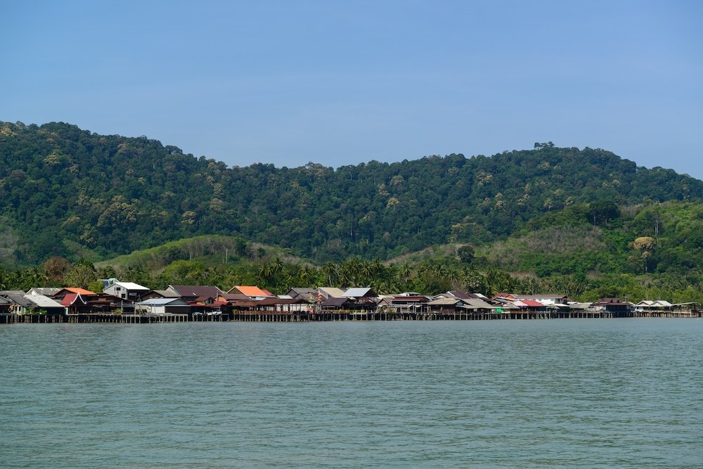
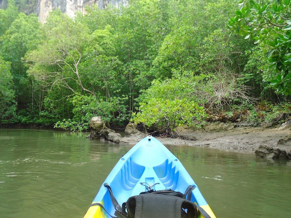
The east side of Lanta is surrounded by mangroves, namely salt-tolerant trees that grow on interwoven roots above the level reached by high tides. The best way to cross the mangroves is by kayak, starting at Ban Thung Yee Peng, a Muslim fishing village more than 100 years old that manages its own community tourism project. While paddling with a guide, you navigate the narrow channels under the canopy, where fiddler crabs move through the mud and monkeys can sometimes be spotted in the branches. The village also offers longtail boat trips at dawn and dusk, has a boardwalk along the nature trail, and is famous for lampeng tea, made from a fern that grows where freshwater meets saltwater. If you book your trip through the community, then the money stays in the village. People who enjoy nature, families with older children, and those seeking a quiet morning by the water will all enjoy it.
Koh Lanta Tuk-Tuk Tour
A tuk-tuk is a motorbike with a roofed sidecar attached, and hiring one with a driver for a half or full day is a relaxed way to explore the island without tackling the steep southern hills on a rented scooter. A typical route goes down the western coast via the beaches, stops at a restaurant at a hilltop viewpoint, crosses the island’s main road to get to Old Town, and then returns via the more tranquil eastern coast through sections inhabited by rubber plantations and small villages. Decide on both the route and the price before you begin. Drivers are generally prepared to wait while passengers swim, eat, or take time to see the monkeys, which can delay trips on the southern roads.

Island Hopping
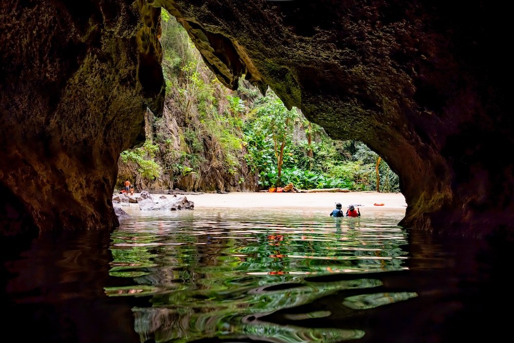
Lanta sits at the edge of a sea with many limestone islands, and the usual way to visit them is to take a day trip south to Trang province by longtail boat or speedboat. The main attraction is Koh Mook’s Emerald Cave: swimmers follow a guide through a long, completely dark sea tunnel about 260 feet long, then emerge into a hidden lagoon surrounded by cliffs. Other stops generally include Koh Kradan, where you can snorkel over a shallow reef; Koh Ngai, which has a long, soft beach; and Koh Chueak, a small limestone island with cliffs. Further out is Koh Rok, a pair of islands that form part of a national park about 25 miles southwest, and this area has some of the clearest water in the region. In contrast, Koh Phi Phi is only about 30 minutes by speedboat. The journey will interest swimmers, families, and anyone looking for an excuse to swim into a cave.
Diving and Snorkeling
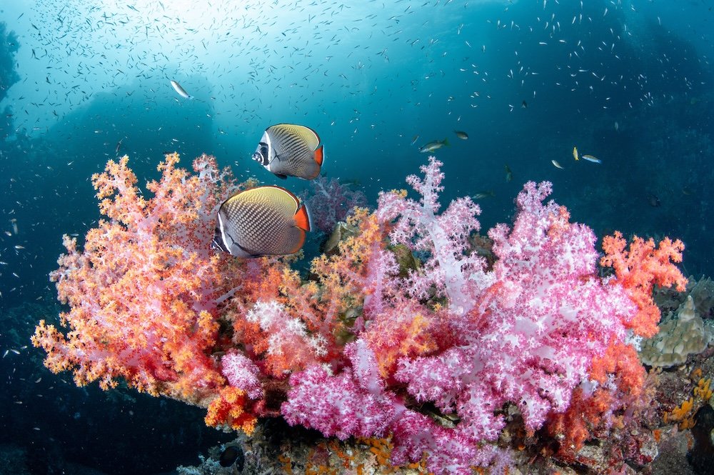
Lanta is the principal departure point for two of Thailand’s best dive sites, Hin Daeng and Hin Muang (“red rock” and “purple rock”). The two pinnacles stand out from deep water and are about an hour and a half offshore, accessible by speedboat. Soft coral covers the sides of the pinnacles, and the currents carry manta rays and whale sharks, primarily between February and April. These dives suit experienced divers; beginners and snorkellers are better off going to Koh Haa, a group of small islands with a protected lagoon, or the shallow reefs of Koh Rok. On the island, dive shops provide courses for complete beginners. The diving season runs from November to April, while the marine park sites offshore are closed from mid-May to mid-October. Certified divers, first-time divers willing to take a course, and snorkellers who want to see more than a glimpse of the reef will enjoy it.
Tham Khao Mai Kaew and Tham Seua Caves
Lanta’s limestone region has two cave systems. The family residing in the area came across Tham Khao Mai Kaew whilst searching for wild honeycomb on their rubber plantation, and they still arrange guided tours. To get there, you take a short walk through the jungle before descending a crude wooden ladder into the dark, passing several chambers adorned with stalactites, some as large as a cathedral, and then reaching a section that involves crawling. The fee, a few hundred baht, includes a guide and a headlamp. Tham Seua, known as the Tiger Cave, is farther south, near Diamond Cliff, and is the easier of the two caves; you can visit it with or without a guide, and it pairs well with the seasonal Khlong Chak waterfall nearby.
When to Go: High, Shoulder and Low Season
The high season runs from December to March, the heart of the dry season. The seas are calm, the sky is usually clear, average daytime temperatures range from 88 to 93 degrees Fahrenheit, and all boat trips run. Prices peak during this period, and the most attractive resorts on Long Beach and Kantiang Bay fill up, especially around Christmas and New Year’s. You need to book well in advance.
The shoulder months are November and April, with a small portion of early May. In November, the island resumes activity as resorts reopen and the national park’s offshore sites also start operating, even though visitor numbers remain low. In April, the weather is hot, with temperatures averaging around 93 degrees, but this month coincides with the peak manta season and therefore has more reasonable prices. While early May can be a worthwhile risk, businesses tend to start closing as the month goes on.
From May through to October, the southwest monsoon is the prevailing factor during the low season, with rain falling in heavy but usually brief showers, the sea becoming choppy along the western coast and many beach resorts closing down entirely. The offshore areas of the marine park, such as Hin Daeng, Hin Muang and Koh Rok, also cease operations from mid-May until at least mid-October. Yet the island is not entirely abandoned; the jungle becomes more colorful, prices drop significantly, and the east coast, including Old Town, is in a kind of rain shadow and is therefore often drier than the west coast. People who choose to travel during this time should consider it before booking, pack a rain jacket, and consider visiting during a full moon in Loy Rua.