


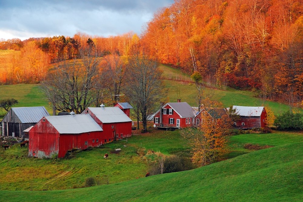
Somewhere ?between Waterbury and Stowe, a section of Vermont Route 100 holds up traffic every October. You round a hill, and it clicks: forty cars have pulled onto the shoulder, their hazards flashing, doors open, figures standing in the road with phones held aloft, trained on a hillside of sugar maples that have, overnight, blazed the color of a struck match. No one is ashamed. A man in a fleece vest is telling his kids to hurry up and get in the shot before the light changes, as though the hillside might second-guess. That scene plays out somewhere in America almost every week from mid-September to early November, just not always where you’d expect, and never on the date you had booked six months ago for a cabin trip. Fall foliage travel is one of the few things people schedule around a forecast nobody can actually give them. The leaves have their own schedule.
What the Leaves are Actually Doing
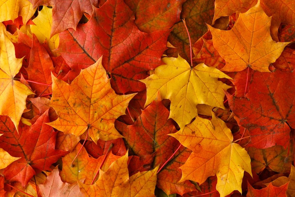
The color was there all along. A leaf carries three pigments through the growing season: chlorophyll, which is green and actually does the work of photosynthesis, and carotenoids, which create yellow and orange and are in the leaf the whole time, just outshouted by all that green. As nights grow longer, the tree begins curtailing chlorophyll production, and the green fades to reveal the yellows and oranges that have been there all summer. Red is the exception. Anthocyanins are the pigment that creates the reds and purples, and they aren’t there in the leaf waiting; the tree synthesizes them fresh in autumn in response to bright sunlight hitting a leaf still high in sugar, according to the U.S. Forest Service’s primer on the chemistry.
The single biggest factor in timing isn’t temperature. It’s the length of the night, the most consistent, least negotiable variable a tree has to contend with, which is why a good year and a bad year for color still turn over around roughly the same date. What changes is the intensity. Warm, sunny days and cool nights that don’t quite make frost are the perfect storm, because the tree keeps producing sugar during the day and the cool nights trap it in the leaf, which drives those anthocyanins into a truly blaring red instead of a pasty one. Drought dims the whole affair and can force leaves to turn brown and fall early, and a wet spring and a mild, sunny fall is what locals mean when they say it’s “going to be a good year.”
The Old Farmer’s Almanac
You have maybe already found your way to the Old Farmer’s Almanac‘s fall foliage map, the one where you can drag a date slider back and forth across the calendar and watch a color gradient creep south across the country. It’s a genuinely good first stop, and well worth bookmarking. It’s also, importantly, built by the same outfit whose long-range weather forecasting goes back to a formula concocted by founder Robert B. Thomas in 1792, whose notes are reportedly still locked in a black box in the Almanac’s offices in Dublin, New Hampshire. Thomas believed sunspot activity governed the weather on Earth, and the modern Almanac has integrated that instinct with solar science, climatology, and meteorology, claiming about an 80 percent accuracy rate on its long-range forecasts overall.

That’s not a criticism of the map. It’s a reasonable, fun first sketch, based on historical averages and current conditions, and for a “roughly when should I go” first pass, it does an admirable job. But an average isn’t a guarantee, and a single almanac page, however endearing its institution’s black-box backstory, shouldn’t be your only tool. State forestry agencies, national park visitor centers, and regional foliage-tracker sites update a lot more frequently, sometimes weekly, taking actual reports from rangers and volunteers standing under the question trees. What you want to do is use the almanac’s map as your rough draft and let the more ground-level trackers do your final pass.
The best shortcut in foliage planning has nothing to do with any map. It’s elevation. Temperature falls about 3.5 degrees Fahrenheit for every thousand feet you gain elevation, and the trees respond to that difference exactly as you would expect: the high country turns first, and then color works its way downhill for weeks afterward. You can see it almost anywhere in the Great Smoky Mountains. Around Kuwohi and Newfound Gap, above five thousand feet, yellow birch, American beech, and mountain maple can turn as early as mid-September. At mid-elevations, three to five thousand feet, sugar maple, scarlet oak, and hickory take over from early to mid-October, often with valley fog pooling beneath the color for contrast. By the time you hit Gatlinburg’s downtown, at under thirteen hundred feet, it’s typically late October through early November, six to eight weeks after the ridgeline was at its best.
One mountain, one long season, if you know where to look and when. California’s Eastern Sierra plays the same physics but in reverse geography: color begins at high-elevation locales like Bishop Creek and Rock Creek in mid to late September, moves through Mammoth Lakes and the McGee Creek area in early October, and ends up with the aspen groves of the June Lake Loop and Lundy Canyon that can hold their gold through November. That means you can nail the color on a single well-planned road trip through either range instead of betting on hitting it in one place at one time.
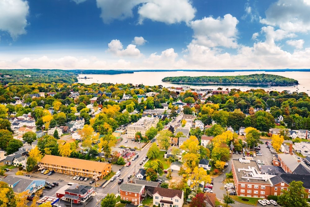
New England still earns its marquee reputation, mostly because it has the sugar maples to support it and a tourism board that has been fine-tuning the leaf-peeping business model since before anyone knew what it was. Northern Maine, around Flagstaff Lake or Bar Harbor, and the high country of Vermont and New Hampshire’s White Mountains tend to go first, typically the last week of September through the first week of October. Southern New England, Massachusetts, Connecticut, and Rhode Island fall two to four weeks behind, with peak typically landing between mid-October and early November. It’s entirely sensible to begin a road trip in northern Vermont and drive south over ten days, staying more or less perpetually at peak the whole way. The Upper Midwest plays a longer game than most people credit it for. Minnesota, Wisconsin, Michigan, and Iowa spread their color out over about a seven- or eight-week window, moving steadily north to south.
Late September brings sumac and understory color to Minnesota’s Gunflint Trail and Wisconsin’s northwoods. By early October, the North Shore of Lake Superior and Michigan’s Upper Peninsula are near peak, with hikes like the Oberg Mountain loop drawing a genuine pilgrimage. Color works its way south through the second and third weeks of October, hitting Door County and the Twin Cities’ Mississippi River gorge, and doesn’t clear until the oak country goes bronze in late October and the last willows around Lake Michigan’s shoreline turn gold, typically two weeks after everything else, around the first week of November.

Out west, Colorado’s aspens tend to hit at higher elevations. Kebler Pass and the lands around Maroon Bells change mid- to late September, with a normal color window of five to seven days per location before turning and dropping. Lower mountain communities like Ridgway and Durango extend into mid-October, and the Front Range into late October. In the Pacific Northwest, the Columbia River Gorge and Oregon’s Willamette Valley tend to peak early to mid-October. At the same time, the higher Cascades, cooler and higher up, often turn a week or two before the valley floor beneath them. Same physics as the Smokies, different trees.

All of those windows are moving later than they used to. Alexandra Kosiba, a forestry extension professor at the University of Vermont, has noted that peak foliage in parts of the Northeast has shifted to about a week later than when researchers first began tracking it systematically. Warmer autumn nights slow the shutdown of chlorophyll, delaying the whole show, while a warmer spring can paradoxically urge some of those processes along earlier. Throw in a drought year and leaves can turn brown and drop instead of putting on a show no matter what any map said back in July.
None of which means the trip isn’t worth planning. It means the smart traveler builds in a few days of slack and picks a route with built-in elevation range, so if the valley isn’t there yet, the ridge already is.
Actually Booking the Trip
Lodging in the best-known corridors, Vermont’s Route 100, Minnesota’s North Shore, the Blue Ridge Parkway, books up shockingly early, sometimes a year ahead for the best inns during the two peak weekends. Lean on real-time trackers once you’re within a couple of weeks of departure, such as state forestry and tourism sites, the National Park Service’s own updates for the Smokies and Shenandoah, and crowdsourced sites like the Foliage Network, which pull reports from actual observers rather than historical averages.

Go midweek if your schedule allows. The same hillside that requires a shuttle bus and a parking reservation on a Saturday in peak week is often just you and a turnout on a Tuesday. And build day trips into the itinerary rather than a single big push to one overlook. A short loop that gains and loses two thousand feet of elevation, out of a river town and back by dinner, will show you three weeks of color compressed into one afternoon, which is a better trick than anything on a map, black box included. Pack a thermos, perhaps a picnic lunch, and enjoy!